
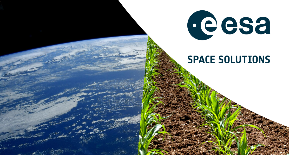
From Space to Soil: How the European Space Agency is Revolutionising Agriculture
Rita Rinaldo, Head of Projects and Studies Implementation Division at the European Space Agency, joined Conference Producer Louise Crauet for a Q&A ahead of the World Agri-Tech Innovation Summit in London.
They explored how ESA is supporting the future of agriculture through cutting-edge space technologies, precision satellite applications, collaborative partnerships, and sustainable practices such as data-driven crop monitoring and resource management.
The ESA BASS programme is involved with hundreds of activities in agriculture. Can you tell us how spatial innovation is transforming the agriculture industry, from tractor GPS to seed resilience and field mapping?
Rita: "We see the agriculture sector as a key priority for space, as populations grow rapidly and the sector remains vulnerable to the impact of climate change and rapidly dwindling resources. ESA’s Business Applications and Space Solutions (BASS) programme is committed to helping businesses embrace space technology to improve life on Earth."
"Over the past ten years, the agriculture sector has seen one of the highest levels of investment from the BASS programme, with more than 126 million euro invested across 246 activities from 22 countries across Europe. All investment supports projects using space-based technologies and data to accelerate the transition to a more productive and environmentally-responsible agriculture sector."
"Satellite navigation plays a key role in enhancing the precision of autonomous machinery, optimising waste collection services and ensuring the authenticity and quality of organic and sustainably-produced goods."
"Satnav can also be used with IoT sensors to monitor livestock health, location and behaviours and optimise planting schedules and crop rotation plans using machine learning algorithms."
"Satellite communications provide vital internet access to rural and remote farms and fisheries, helping producers access the latest market prices, weather forecasts and emerging climate-smart agriculture best -practices, as well as connecting them with buyers and suppliers to streamline the supply chain."
"Data and imagery from Earth observation satellites are also playing a crucial role in the sustainable evolution of agriculture in Europe and beyond. We are supporting a range of projects which are using this data to assess crop and forest health, detect disease and predict yields. This is leading to more efficient farming practices, reduced use of fertilisers and precision irrigation which is in turn saving valuable water resources."
"SatEO data combined with IoT technology, AI and machine learning makes it possible to track deforestation, desertification and biodiversity loss as well as monitor soil moisture levels and water quality and volumes in reservoirs and rivers."
"Satellite data transmission is also enhancing supply chain transparency, helping farmers and insurers reduce fraud and ensuring ethical sourcing of agricultural commodities, which all helps mitigate environmental harm while maintaining agricultural productivity."
Can you share an example of a recent project or partnership that demonstrates ESA’s impact in the agriculture space?
Rita: "ESA are experts in space and space technology, but in order to ensure that our funding and expertise is directed in the right areas, we place a high importance on partnerships with industry experts. To that end, in 2024 we established the Bioeconomy Task Force, following hot on the heels of the Energy, Maritime and Smart Cities Task Forces. Currently comprising 13 members from across the sector, including ICT-AGRI-FOOD and Copa-Copega with whom we have worked for many years, the Task Force helps us identify key challenges in the sector, and work with industry to develop relevant, impactful and commercially-viable products and services for agriculture."
"One project that completed recently was HARVIC, which was developed in the Netherlands. It provides actionable information on crop growth development, quality monitoring and early forecasting of potato yield, with a direct connection to the customer environment."
"HARVIC offers weekly updates on the quality and vitality of potato fields to companies across the potato value chain via a seamless combination of optical and radar satellite imagery, advanced and localised weather data and ground sensors. Together with customer data and advanced analytical tools, the service provides practical and relevant insights that bring direct savings and commercial benefits to the producers. Already used widely in the Netherlands, it is now rolling out across Germany, Belgium and France."
"This is just one example of the many and varied ways businesses across Europe are working with us to harness space technologies to transform the agriculture sector, helping secure safe food supplies for future generations whilst preserving our vital natural resources."
Join the Conversation in London
Hear more at the World Agri-Tech Innovation Summit in London, September 22–23, where Rita will delve into this topic further during a presentation, 'Transforming Agriculture Through the Lens of Space Technology'.
You can also hear her discuss 'Tools to Manage Climate, Agronomic and Supply Chain Risks' on the main stage panel discussion alongside leaders from Google, AXA Climate and EarthDaily.
Will you be there alongside 800+ agri-food leaders at the InterContinental London – The O2?
Secure your place today→
)
)
)
)
)
)
)
)
)
)
)